|
AQMS |
|
|
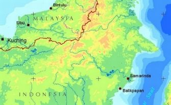
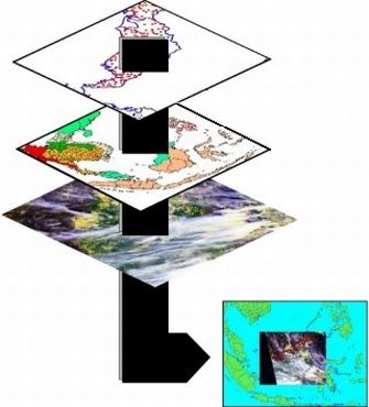
Air Quality Mapping System AQMS is an application for integrating satellite imagery with weather station data in a mapping environment to monitor haze related episodes. This mapping environment allows for the interactive creation of dynamic maps based on external databases of information. This system was developed for the State Government of Sarawak in Malaysia, to provide tools to visualize, explore and query data, geographically. The Air Quality Mapping System software is designed to import and work with data generated from numerous other software packages. These include two different satellite image formats, Microsoft Access relational database, GIS layers, HTML formatted documents from the World Wide Web, and data stored within Microsoft Excel spreadsheets. AQMS provides standard desktop mapping tools like thematic mapping and advanced text labeling. Custom tools were tailored for the State government, including; time series plotting, forecast prediction, and analysis of statistical trends. |

|


