Animations of 1994 Skagway Tsunami Event
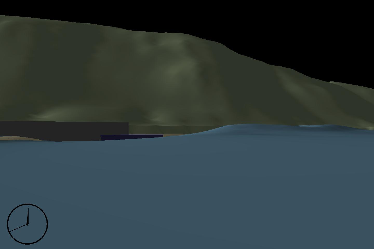
The city of Skagway, Alaska, is located at the head of the Taiya Inlet, which is a narrow fjord, some 15 miles in length, less than one mile wide on the average, and having a maximum depth of about 1,400 feet. The tidal range in the Taiya Inlet is about 27 feet. Two rivers, namely the Taiya River and Skagway River empty into Taiya Inlet and bring in a large amount of sediment. On both banks of the Taiya Inlet, there are mountains with elevations over 7,000 feet above mean sea level. (Photo below provided by Phil Watts)
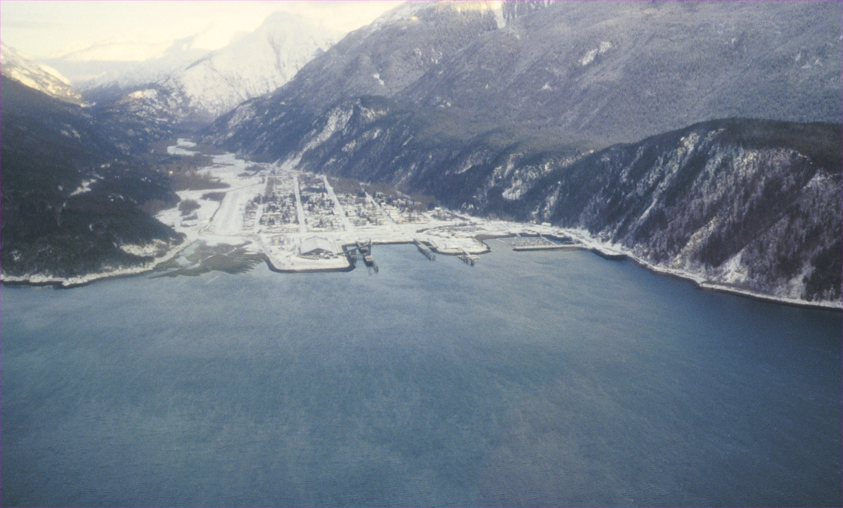
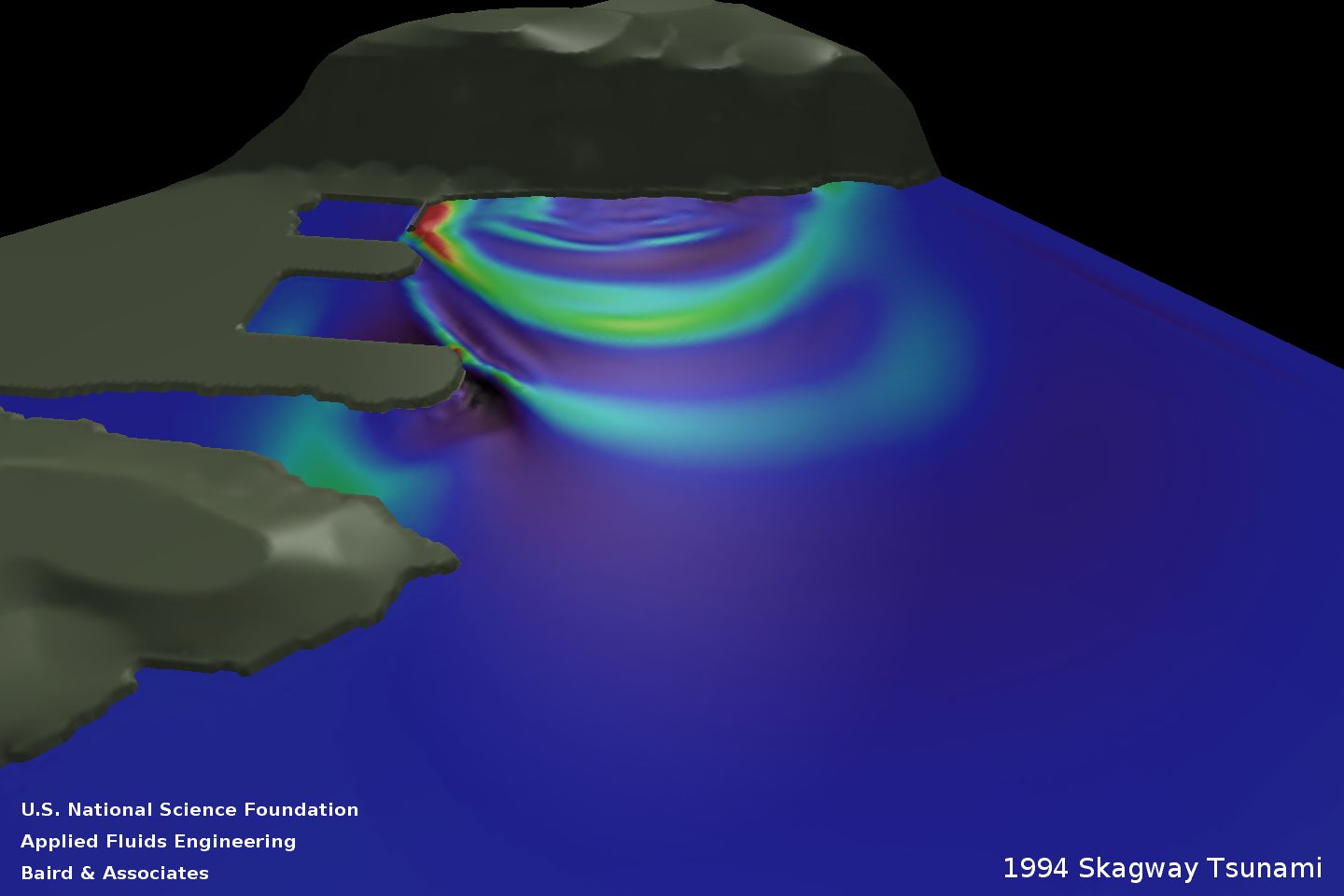
On November 3, 1994 at 7.10 P.M. local time, a massive sub-marine landslide occurred on the submerged Skagway River delta. The approximate landslide volume was estimated to be 22 million cubic yards and generated a tsunami with a maximum wave amplitude of about 30 feet and a wave period of 3 minutes. The tsunami destroyed or damaged several harbor structures and one person was killed.
The movies presented below show the tsunami event that occurred at Skagway from different perspectives around the harbor. A brief description of each movie is provided below the image. The MPEG movies are set to 24 fps, which represents 6 times faster than real time. Clicking on an image will display a higher resolution version. All images and animations use a vertical scaling factor of 1.
MPEG (5.1 Mb)
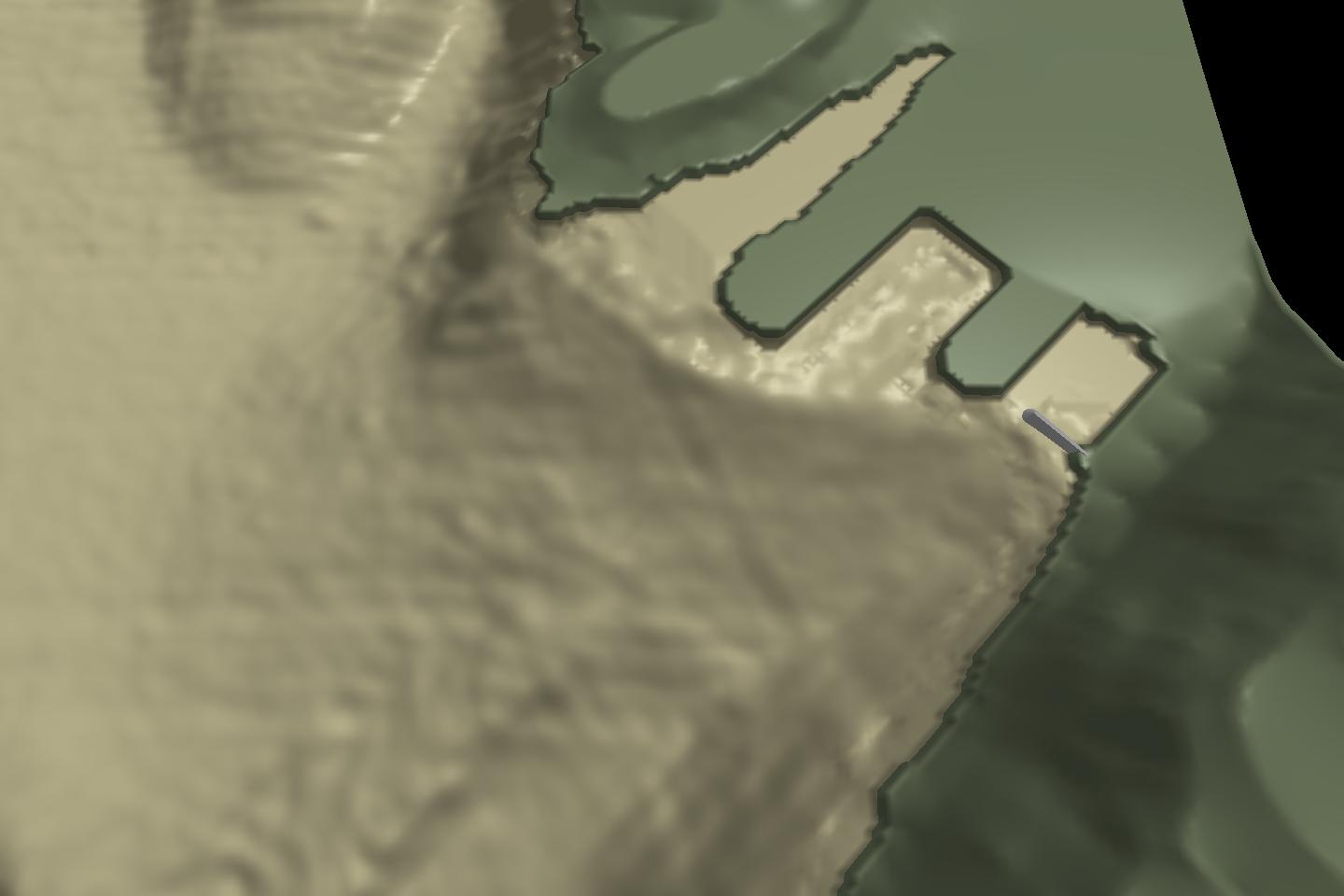
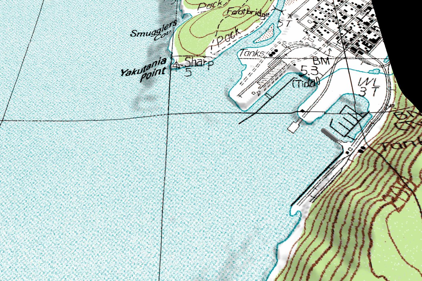
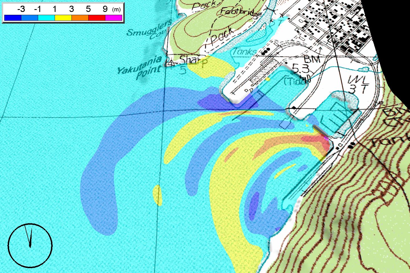
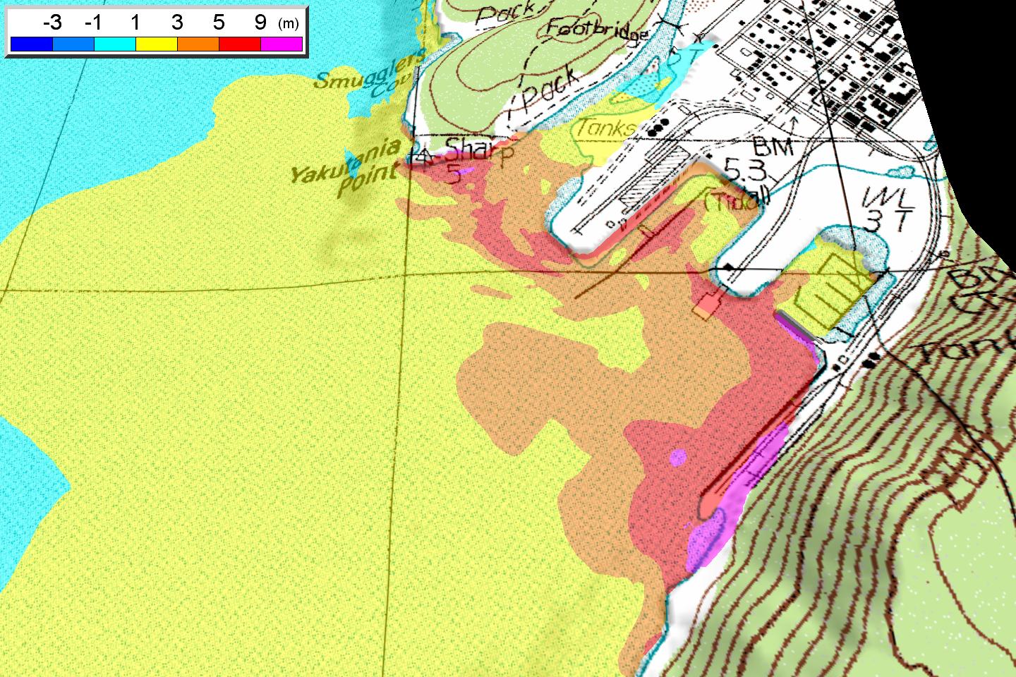
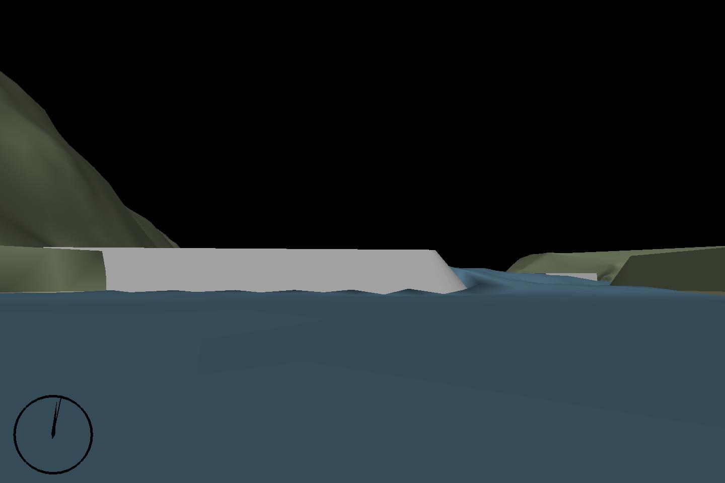
The sequence begins with the bathymetry of the harbor, over which a topographical map is then overlaid. Coarsely graduated water elevation contours are displayed for the event, where the ambient aqua color represents a range of plus or minus 1m from sea level.Flooding and drying is apparent in several locations. The movie ends with a still representing the maximum wave heights.
MPEG (3.7 Mb)
MPEG (4.5 Mb)
MPEG (2.2 Mb)
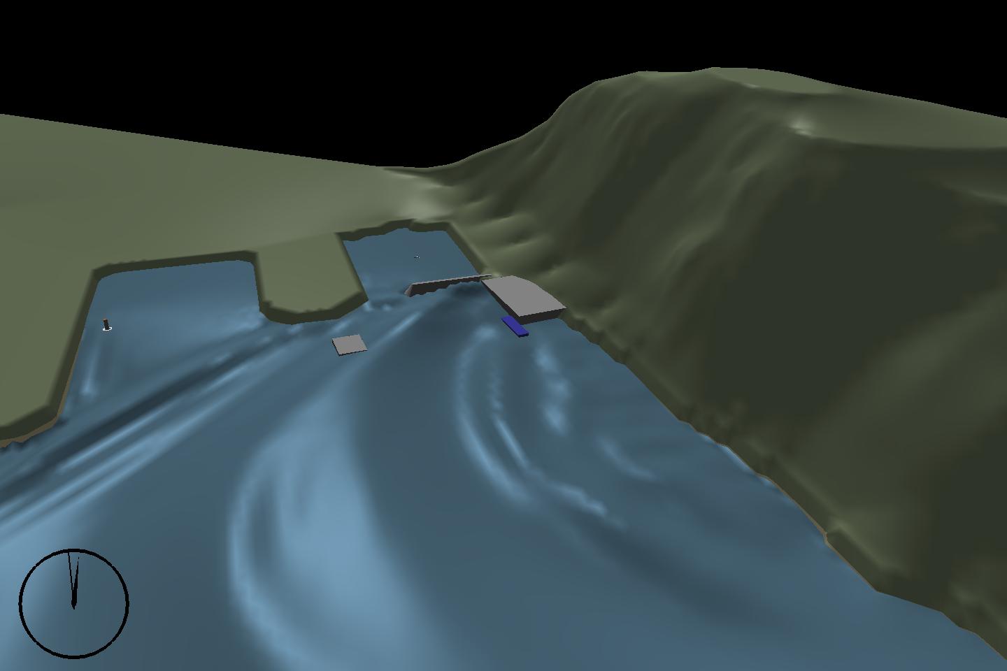
From the remaining portion of the railway dock, witnesses could see part of the dock slide into the water, followed by a large elevation wave which raised a barge (in blue) to the same level as the dock which is about 9m above sea level. Eyewitness accounts describe the wave impacting the floating concrete ferry dock (located across the harbor), this was then accompanied by a loud noise presumably from breaking anchor chains and/or snapping lampposts.
MPEG (1.7 Mb)
This viewpoint is that of a fictional observer on a boat in the harbor, which was allowed to drift in response to the wave conditions.Actual eyewitnesses on one moored craft reported their boat hitting bottom, followed by a "wall of water" entering the small boat harbor which overtopped the dock fingers.
MPEG (2.6 Mb)
The viewpoint is that of a fictional observer on the floating concrete ferry dock, looking at the slide location at the railway dock, and panning to the harbor entrance. The ferry dock itself was not overtopped, but raised violently in excess of the 7m displacement allowed by the mooring chains which were snapped, allowing the dock to drift. The ramp to the dock was lifted off of its hinges undamaged, implying either an elevation wave of around 9m, or a depression of about 3m.
MPEG (2.8 Mb)
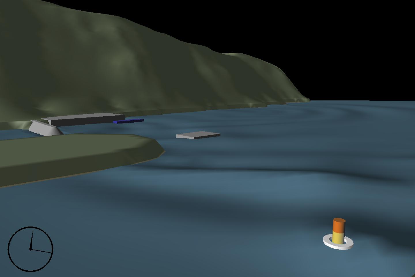
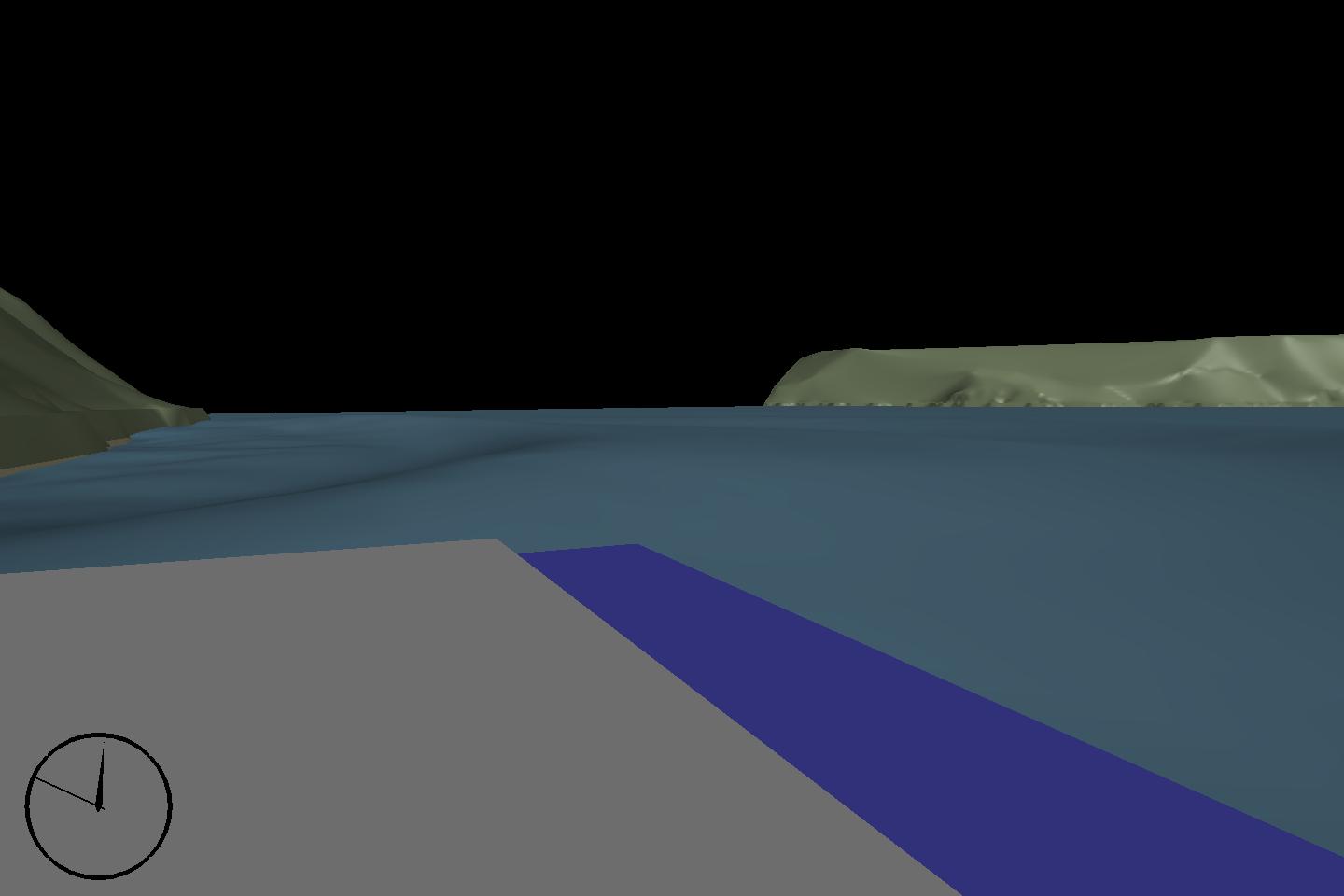
A dynamic representation of a tide gauge was added in the foreground which moves according to the actual recorded water levels during the event. Each colored section of the gauge represents 4m.The square structure in the center represents a 4400 ton floating concrete ferry dock measuring about 100 feet wide which broke its 13 mooring chains and travelled an approximate 60 feet longitudinally. Maximum wave heights exceeded 30 feet outside the harbor.
- Tad Murty
- Michael Fullarton
- Don Zimmer
- Stéphan Grilli
- Jim Kirby
- Phil Watts
-
Co-authors:
- Baird & Associates
- US National Science Foundation
- Applied Fluids Engineering, Inc.
-
Acknowledgments:
All animations rendered with X-Vision by Baird Software
© 2003, Baird & Associates